


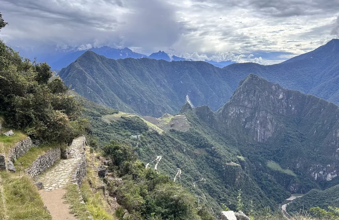
The Inca Trail was essential to the functioning of the Tahuantinsuyu. Its value was not limited to allowing people to travel from one place to another: these roads enabled the Inca state to connect territories, administer populations, move resources, deliver orders, and keep regions separated by vast distances and extremely challenging geography united.
It is important to remember that there were no cars, trains, or pack animals such as horses or oxen. In that context, having well-organized roads was of enormous strategic value. Messengers, authorities, llama caravans, soldiers, and groups of people traveled along them, while food, textiles, coca, metals, products from each region, and supplies for the various state centers were also transported.
UNESCO considers this road network one of the foundations that made the political, economic, and social integration of the Tahuantinsuyu possible.
Connecting territories far from Cusco
One of the main functions of the Inca Trail was to keep places located hundreds or even thousands of kilometers from Cusco connected. The Tahuantinsuyu came to encompass enormous diversity: there were communities on the coast, in valleys between mountains, on the high plateau, in highland areas, and near the eastern forests. Governing such different territories would have been far more difficult without roads that made travel between them possible.
The routes connected communities with administrative centers, farming areas, and ceremonial sites. In this way, the road helped turn scattered territories into a far more unified political structure. In fact, UNESCO describes the road system as the backbone of the Incas’ political and economic power and as a key tool for physically connecting the entire Empire.
Delivering orders and news through the chasquis
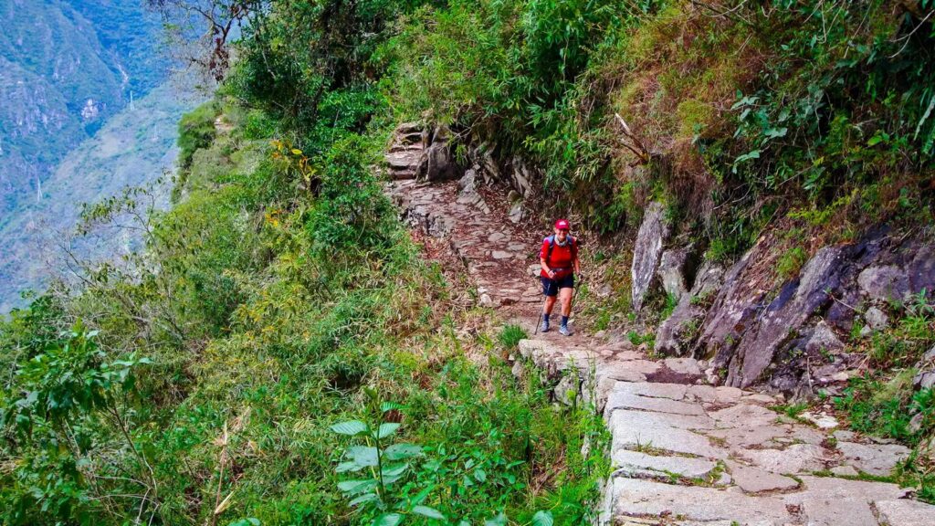
One of the best-known functions of these roads was communication. The state needed to send instructions between Cusco and very distant provinces, and this was the role of the chasquis: messengers who covered sections of the road in relay. A single messenger did not have to travel the entire distance; information was passed from one chasqui to the next as it moved along the route, allowing news and orders to travel much faster than if one person had completed the whole journey.
The roads entering and leaving Cusco were used to transmit the Inca’s orders and maintain contact with the rest of the territory. The official inventory of a section of the Qhapaq Ñan in Cusco expressly mentions that chasquis used these routes to carry the Inca’s messages and directives.
This ability to move information quickly was essential for governing. Without it, it would have been very difficult to know what was happening in distant provinces, coordinate authorities, or respond to a political or military problem.
Facilitating the movement of armies
The roads also had an important military function. The expansion of the Tahuantinsuyu meant incorporating very different territories and maintaining control over them, which required the ability to move troops, weapons, food, and other supplies. An organized road network made it possible to transfer contingents through areas where mountains, ravines, and deserts would have made progress nearly impossible without infrastructure.
UNESCO includes defense among the main functions of the Inca road network and documents how it was used by armies and large groups of people. However, its military value was not limited to conquest campaigns: it also served to reinforce certain regions, move resources, and maintain the state’s presence in areas far from Cusco. This is why the roads were both communication routes and tools of power.
Transporting food and other products
The roads made it possible to move products from very different regions. The Andean territory provided different resources depending on altitude, climate, and location, so food, textiles, coca, wood, feathers, metals, seashells, and many other goods traveled along these routes. UNESCO has documented the movement through the network of products such as food, coca, textiles, wood, precious metals, feathers, and military supplies.
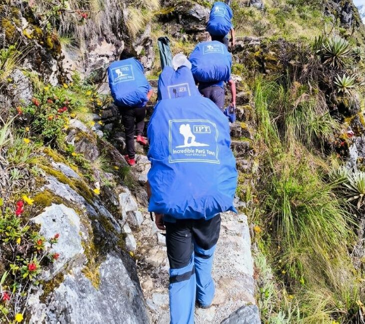
Llamas played an important role in all of this. As animals adapted to Andean geography, they could carry loads in caravans along certain routes. They could not transport the quantities a modern vehicle could carry, but they were highly useful on mountain roads. Thanks to them, the Inca Trail connected producing areas with the centers where these goods were stored, distributed, or used.
Connecting production and storage centers
The road did not function on its own. Along the routes, there were state-related facilities: administrative centers, places to stay, and storage structures. This meant that products did not have to travel from one end of the Empire to the other all at once; they could be stored at strategic points and distributed later, as needed.
This infrastructure included places intended for trade, storage, and lodging, as well as religious spaces. In some areas, there were groups of qullqas, which were storage facilities for goods. The ability to preserve food and other resources carried economic, administrative, and military importance.